Environment
Purple Clavaria - Photo by Dianne John
|
Kaitiaki - We care!
Information on the flora and fauna of the Bay and surrounding district is of special interest to many residents and visitors.
Background information is provided together with photos of the plant and bird life that include some rare species. Introduction Ngakuta Bay’s environment has since European settlement been highly modified by logging and then burning to clear the bush for farming. Lowland swamp areas were filled with spoil from roadworks between 1946 and 1977 when the Queen Charlotte Drive was upgraded, contributing to the historical loss of wetlands in the Marlborough Sounds. Spoil has continued to be dumped quite recently in areas undergoing subdivision. In addition to these impacts of human activities, the Bay’s habitats have suffered from degradation by introduced mammalian pests as well as plant species. However, there has been a slow recovery since much of the farm was sold to the Crown for reserve land in the mid twentieth century. Bush has returned to hillsides, but further losses have continued with increased subdivision of the remaining farm land on flatter areas. | ||
The physical landscape
The area covers 562 ha on steep convoluted slopes rising from sea level to 700 m. Hillsides are incised with a series of streams and gullies but access is easy to moderate on some main ridges. A track has recently been developed up to the main western ridge and down to Momorangi, and another track is being developed up the main eastern ridge to intersect with the old bridle path to Picton which, it is hoped, will be cleared and reopened.
Ngakuta Bay rocks are part of a Marlborough schist (type 3) not common elsewhere in the Sounds. Schist is a rock that has been processed by high temperatures and pressures in its geological past when it was once buried many kilometers underground. This schist type is highly ‘foliated ‘ – layered – and occurs in a band bounded by a fault line in Shakespeare Bay in the east and a fault line at the western side of Ngakuta Bay (Sheet 14, Marlborough Sounds, Geological Map of New Zealand 1975).
Rainfall is about 1400 mm per annum. Hill slopes are well drained with streams that coalesce to form two larger creeks that have always run, even in droughts in recent history, and provide water for the community. Springs are present on flatter areas and new ones sometimes appear after major storms. Two smaller streams feed Little Ngakuta.
Bird LifeSome 50 species of bird have been recorded over the last decade at Ngakuta Bay and this comprises about equal numbers of species found predominantly on the shore and on the land.
Bush Birds by Dianne John Shore Birds by Dianne John |
Plant LifeIn the past, hillsides were clothed with native forest dominated by hard beech below about 500 m and red beech above 500 m.
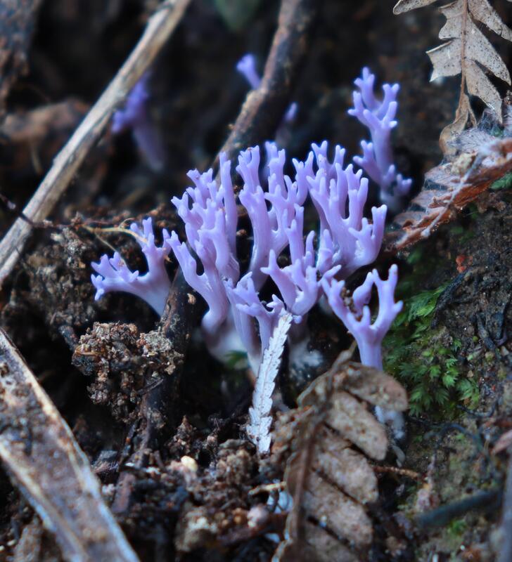
Spectacular Local Fungi by Dianne John |
MammalsTerrestial mammals are introduced predators common elsewhere in the Sounds, some residents contribute to pest control with their own trapping activities.
|
